USGS Topographical Map of Portland Quadrangle
by U.S. Geological Survey 1905
Portland, Multnomah County, Oregon, United States
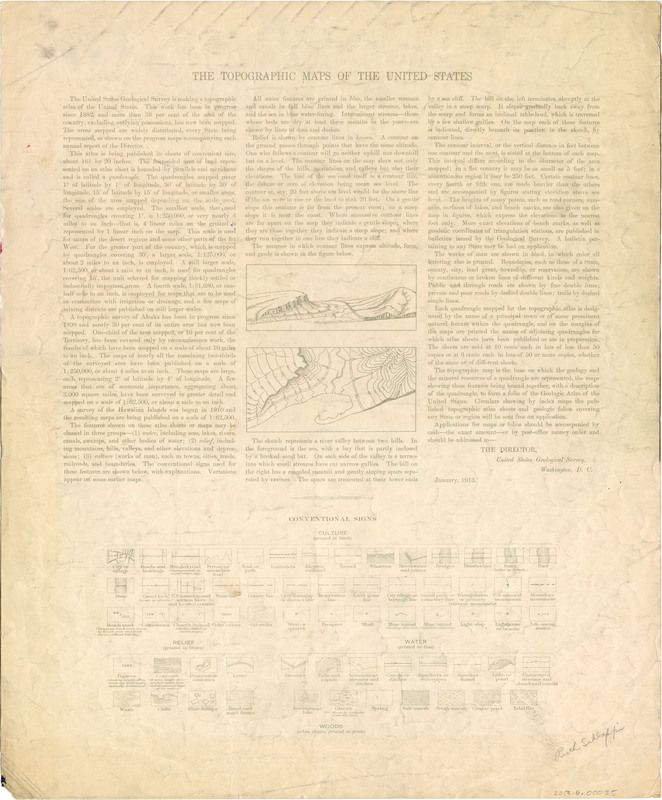
Topographical Map of Oregon-Washington Portland Quadrangle. Includes Portland, Vancouver, and surrounding towns. Willamette and Columbia River. Longitude 122.625 at western edge; latitude 45.625 at northern edge. 1914 reprint of 1905 edition, USGS 15-Minute quadrangle. Guide to reading USGS topographic maps is printed on back. Name "Ruth Schlapp" handwritten on back in pencil.
More about this item
- Identifier
- ghs20120020001
- Description
-
Topographical Map of Oregon-Washington Portland Quadrangle.
Includes Portland, Vancouver, and surrounding towns. Willamette and Columbia River. Longitude 122.625 at western edge; latitude 45.625 at northern edge. 1914 reprint of 1905 edition, USGS 15-Minute quadrangle. Guide to reading USGS topographic maps is printed on back. Name "Ruth Schlapp" handwritten on back in pencil. - Rights
- http://rightsstatements.org/vocab/NoC-US/1.0/ No Copyright
- Location
- Portland, Multnomah County, Oregon, United States
- Vancouver, Clark County, Oregon, United States
- Date
- 1905
- 1914
- Creator
- U.S. Geological Survey
- Subject
- Columbia River
- Topographic maps
- Provenance
- Donated by Jeff Campbell in 2012.
- Type
- Image
- Medium
- Map
- Item sets
- Gresham Heritage


